
Exploration
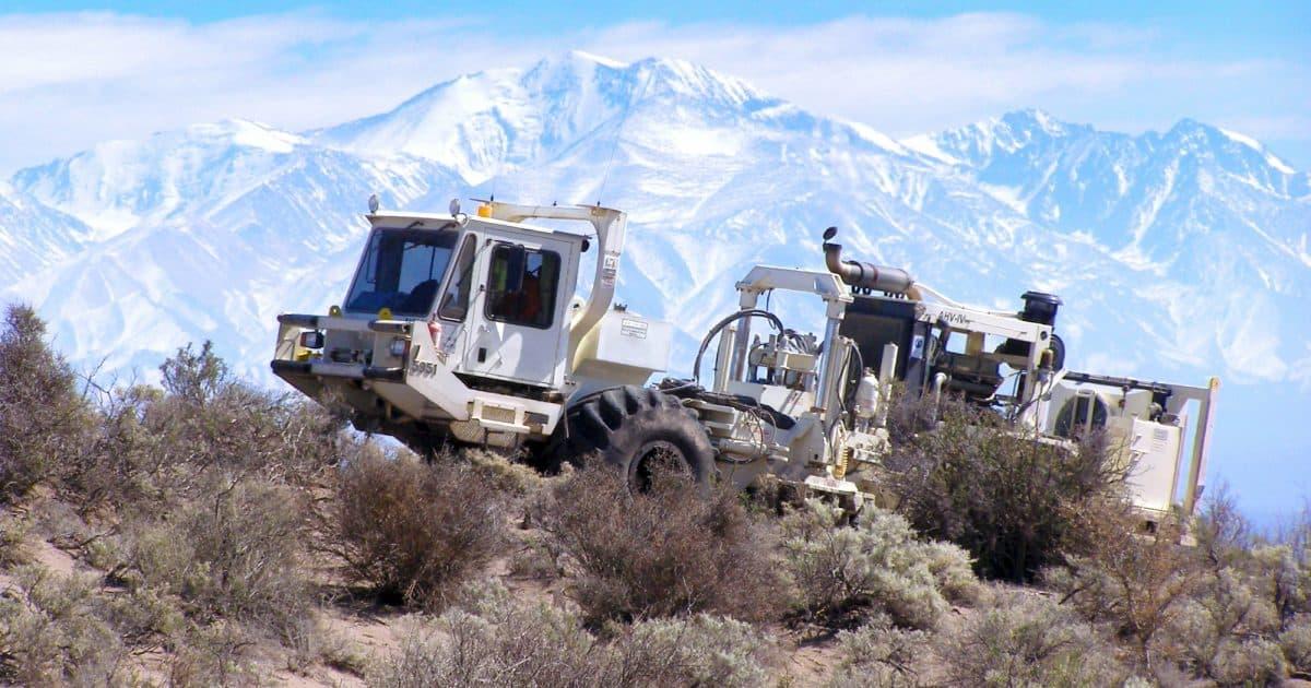
Exploration & Geophysical Survey Equipment
Providing high-precision equipment and sensor technology designed for regional mapping, subsurface imaging, and resource evaluation under harsh field conditions.
Product catalogue
Exploration & Geophysical
High-precision equipment and sensor technology for regional mapping, subsurface imaging, and resource evaluation under harsh field conditions.
4 capability groups
- 01
Seismic Acquisition Systems
Digital geophones, cable/nodal seismic telemetry systems, and energy sources for 2D and 3D seismic reflection surveys.
- 02
Gravimetric Instruments
High-sensitivity land and borehole gravity meters for deep structure characterization and density mapping.
- 03
Magnetometric Systems
Precision proton precession and fluxgate magnetometers for regional structural and basin analysis.
- 04
Survey Accessories
Portable data acquisition units, field calibration units, and ruggedized power modules.
More product divisions
Explore the full portfolio
Need a specification match or commercial proposal?
Talk to our team