
Geoscience
Geoscience & Exploration Solutions
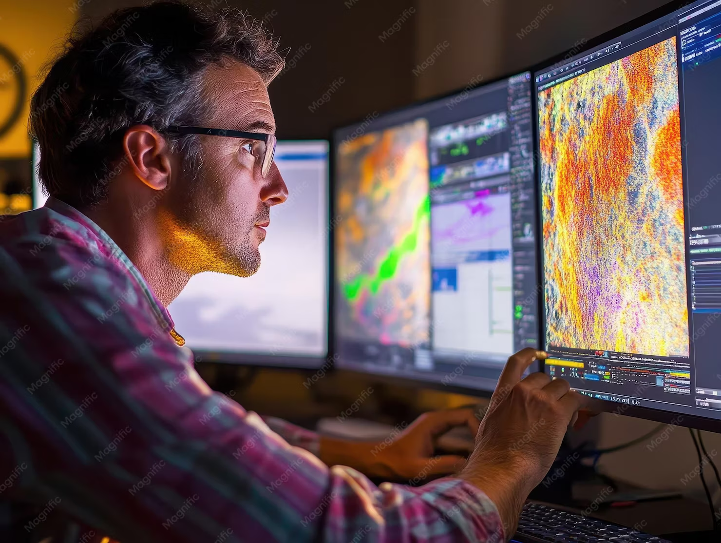
Our Geoscience Division offers state-of-the-art geophysical acquisition, data processing, and subsurface modeling services to support resource evaluation, basin analysis, and field development.
Capabilities
Geoscience & Subsurface Exploration
State-of-the-art geophysical acquisition, data processing, and subsurface modeling for resource evaluation and field development.
6 capability groups
- 01
High-Precision Gravity Surveys
High-accuracy gravimetric data acquisition for hydrocarbon exploration, mineral targeting, geothermal site assessment, regional basin modeling, and civil engineering studies.
- 02
Advanced Magnetic Survey Operations
Land-based and airborne magnetic surveys engineered for geological structural mapping, basement depth determination, mineral exploration, and regional targeting.
- 03
Geophysical Data Acquisition & Field Operations
Comprehensive field acquisition services utilizing high-sensitivity land/borehole gravity meters, precision magnetometers, differential GPS positioning, and strict field QA/QC protocols.
- 04
Data Processing & Signal Enhancement
Advanced processing workflows, noise filtering, regional-residual separation, leveling, micro-leveling, and 2D/3D data enhancement using industry-leading geoscientific software.
- 05
Quantitative Interpretation & Subsurface Modeling
Integrated interpretation of gravity and magnetic datasets, 2D/3D forward and inverse modeling, structural mapping, and target generation to reduce exploration risk.
- 06
Exploration Strategy & Advisory Services
Strategic consulting for survey design, regional play evaluation, basin analysis, and integrated geoscience program management.
More solution divisions
Explore the full solutions matrix
Ready to engineer performance and reduce project risk?
Talk to our team